Maya News Updates 2008, No. 27: Caracol, Belize - New Techniques in Site Mapping Project
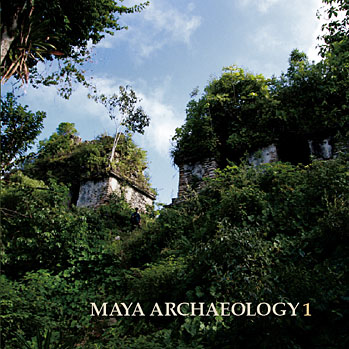
University of Central Florida professors Drs. Diane and Arlen Chase started the Caracol Archaeological Project 24 years ago. This Summer 2008 season state-of-the-art techniques will be employed in the mapping of the archaeological site, including LiDAR remote sensing techniques, to penetrate the dense forest canopy, according to an online report posted by UCF News & Information on Friday May 9, 2008 (edited by MNU):
UCF Research Project Uses Technology to Revolutionize Archaeology - NASA, lasers, the rainforest canopy and Maya ruins sound like the ingredients for the next Hollywood blockbuster. The list actually describes a University of Central Florida study under way in Belize that promises to revolutionize archaeology thanks to the latest technology. Researchers are using LiDAR remote sensing to unlock the secrets of the Maya hidden by forest canopy.
“The lasers we’re using to map the ruins have never been used before,” said UCF archaeologist Arlen Chase. “And it’s going to make a world of difference because traditional methods of mapping are very time consuming, very laborious and very slow.” Arlen and Diane Chase, both Anthropology professors at UCF, are working with UCF Biology Professor John Weishampel, two University of Florida professors, an archaeologist from Belize and UCF research scientist.
In 24 years of digging at Caracol, Belize, the Chase team has mapped 24 square kilometers in the dense rainforest, but the researchers believe the site is 177 square kilometers. The laser approach promises to enable them to gain the data necessary to produce a map of the entire area in about two months. The Chases will combine the complete landscape record with actual archeology to better define the socio-economic, cultural, political and religious systems of the ancient Maya.
The team will use LiDAR, which stands for Light Detection and Ranging and refers to a collection of laser-based sensors that transmit and receive signals. In this study, a plane will fly over the archaeological site and shoot signals to sensors on the ground. The combination will produce an image of the topography. What’s unique about this approach – designed by Weishampel -- is that LiDAR promises to provide a complete map of the canopy and surfaces below the canopy, which includes buildings, roadways and even terraces once used for farming by the Maya.
Weishampel has been using lasers to study forests and other vegetation for the past several years, but archaeologists are just starting to tap into the more advanced lasers and other modern equipment. Most archaeologists today still use the same survey equipment that city workers use for roadwork. They cut through vegetation with machetes to set up the surveyors for the line-of-sight calculations they need.
Weishampel is interested in the results because it will give him a snapshot of forest vegetation today and how it was influenced by land use practices of 1000 years ago. This understanding will be useful in analyzing trends in how humans impact the levels of carbon storage. Rainforests play an important role in understanding and managing global warming.
“It’s very exciting,” said the biologist who, in combination with the Chases, landed the $412,000 NASA and Space Research Initiative grant that’s made this project possible. “I’ll be in the plane as we make passes over the terrain this summer. It’s my opportunity to be Indiana Jones in a very high-tech way.” NASA is interested because, if the project is successful, the same technology and techniques could be applied to scan and map other archaeological sites.
The University of Florida’s National Center for Airborne Laser Mapping will provide the research-grade elevation and topographic data from the data collected in Belize. The partners at UF are Professor Ramesh L. Shrestha and Assistant Professor K. Clint Slatton. Jason Drake, a UCF adjunct assistant research professor and Jaime Awe, the director of the Institute of Archaeology in Belize round out the group. The team brings together experts in three different fields to revolutionize archeology.
“Someday, we may all be using this technology routinely, and that could mean huge progress in learning about our past and applying lessons learned to our future,” said Diane Chase. The team began laying the groundwork in Belize in March and will be back at Caracol this summer to begin their laser expedition (written by Zenaida Gonzalez Kotala; source UCF News & Information).















0 Comments:
Post a Comment
<< Home