
Maya News Updates 2008, No. 9: El Peten, Guatemala - Satellite Images Reveal More Hidden Maya Cities
Five years ago archaeologists and NASA scientist teamed up by employing satellite images to discover hidden Maya cities. As reported by Reuters on Wednesday February 20, 2008, this research has revealed the existence of five previously unknown Maya cities (edited by MNU):
Satellites spot lost Guatemala Mayan temples - [...] [A]rcheologists have found the ruins of hidden cities in the Guatemalan jungle by peering down from space.
Archeologists and NASA scientists began teaming up five years ago to search for clues about the mysterious collapse of the Mayan civilization that flourished in Central America and southern Mexico for 1,000 years. The work is paying off, says archeologist William Saturno, who recently discovered five sprawling sites with hundreds of buildings using a spy satellite that can see through clouds and forest to reveal differences in the vegetation below.
Saturno said the satellite images made it infinitely easier to find ruins covered for centuries by dense jungle vines and trees. "It was like shooting fish in a barrel," he said. Saturno first sought out satellite images to find a source of water near his excavation camp at San Bartolo, which lies 32 miles from the nearest town on inaccessible roads deep in Guatemala's northern Peten region.
NASA gave him a snapshot of solar radiation reflected off the wide variety of plants in the region. Saturno was surprised to see a pattern of discoloration in the satellite image that outlined some of the buildings he had already uncovered. Using a GPS device, he pinpointed on a map the location of other discolorations nearby and discovered several areas with hidden Mayan architecture.
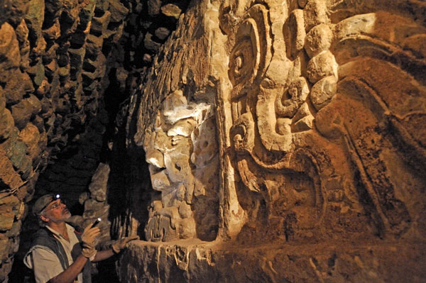
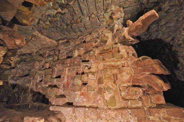
The Maya built with limestone and lime plasters. As the abandoned buildings disintegrate, chemicals from the stones seep into the soil, keeping some plants from growing around the structures and affecting the chemistry of those that do grow. The satellite can spot these differences and the result is a virtual road map of the buried structures from nearly 400 miles above Earth's surface.
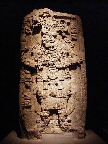
Clues to the Collapse - Saturno said he expects more discoveries like his 2001 find of an elaborate mural from around 100 B.C. depicting the Mayan creation myth, dubbed the Sistine Chapel of the Mayan world.
His research partner at NASA, Tom Sever, hopes the satellite images could provide clues as to why the Mayan civilization collapsed around 900 A.D. "What we are investigating is the choices the Maya made that ultimately created a catastrophic situation for them," Sever said by telephone from a NASA base in the U.S. state of Alabama.
To support a population boom the Maya felled huge swathes of jungle for agriculture. They collected water in giant reservoirs called "bajos" to farm during seasonal dry spells, but the deforestation raised temperatures and reduced rainfall, drying up water sources, Sever said. Bajos were found at around half the new sites located by the satellite, potentially boosting this theory of why the Maya had to leave their cities.
Information about the fate of the Maya could help modern societies make better choices and "avoid the sometimes disastrous mistakes of the past," said Sever. "We are in a race against time to preserve our history" (written by Brendan Kolbay; source Reuters).
Archeologists and NASA scientists began teaming up five years ago to search for clues about the mysterious collapse of the Mayan civilization that flourished in Central America and southern Mexico for 1,000 years. The work is paying off, says archeologist William Saturno, who recently discovered five sprawling sites with hundreds of buildings using a spy satellite that can see through clouds and forest to reveal differences in the vegetation below.
Saturno said the satellite images made it infinitely easier to find ruins covered for centuries by dense jungle vines and trees. "It was like shooting fish in a barrel," he said. Saturno first sought out satellite images to find a source of water near his excavation camp at San Bartolo, which lies 32 miles from the nearest town on inaccessible roads deep in Guatemala's northern Peten region.
NASA gave him a snapshot of solar radiation reflected off the wide variety of plants in the region. Saturno was surprised to see a pattern of discoloration in the satellite image that outlined some of the buildings he had already uncovered. Using a GPS device, he pinpointed on a map the location of other discolorations nearby and discovered several areas with hidden Mayan architecture.
The Maya built with limestone and lime plasters. As the abandoned buildings disintegrate, chemicals from the stones seep into the soil, keeping some plants from growing around the structures and affecting the chemistry of those that do grow. The satellite can spot these differences and the result is a virtual road map of the buried structures from nearly 400 miles above Earth's surface.
Clues to the Collapse - Saturno said he expects more discoveries like his 2001 find of an elaborate mural from around 100 B.C. depicting the Mayan creation myth, dubbed the Sistine Chapel of the Mayan world.
His research partner at NASA, Tom Sever, hopes the satellite images could provide clues as to why the Mayan civilization collapsed around 900 A.D. "What we are investigating is the choices the Maya made that ultimately created a catastrophic situation for them," Sever said by telephone from a NASA base in the U.S. state of Alabama.
To support a population boom the Maya felled huge swathes of jungle for agriculture. They collected water in giant reservoirs called "bajos" to farm during seasonal dry spells, but the deforestation raised temperatures and reduced rainfall, drying up water sources, Sever said. Bajos were found at around half the new sites located by the satellite, potentially boosting this theory of why the Maya had to leave their cities.
Information about the fate of the Maya could help modern societies make better choices and "avoid the sometimes disastrous mistakes of the past," said Sever. "We are in a race against time to preserve our history" (written by Brendan Kolbay; source Reuters).
posted by ahximbalmaya at 8:30 PM
![]()


0 Comments:
Post a Comment
<< Home